METHANA
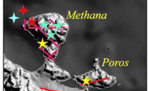
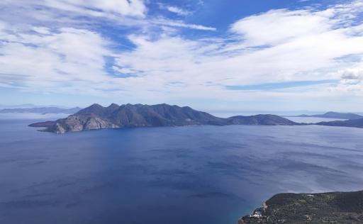
The Methana Peninsula hosts the youngest volcanic products of the Saronic volcanic field, which also includes Aegina and Poros.
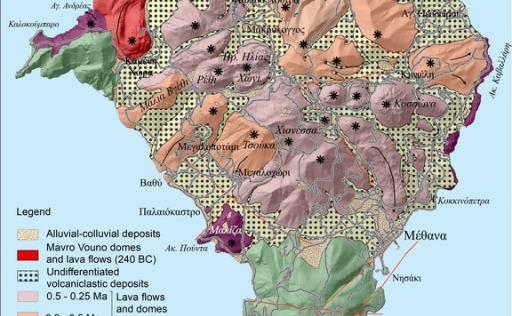
At Methana, the first volcanic activity occurs between 3.6 and about 1 million years ago, fueled primarily by andesitic magmas. Small volcanic centers were formed during this period on the edges of the crystalline substrate of limestone and ophiolites, to the south and northwest of the peninsula, as well as near the area of the town of Methana, depositing primarily small domes and lava flows. During this period, ash layers were deposited in the Akro Punta area from small explosive events, whose source was near the cape. These are the only significant explosive events identified in Methana. (image Simplified geological map of the Methana Peninsula.)
Subsequently, from 0.9 to 0.25 million years ago, dacitic–andesitic magma flowed into the area and built the Methana Peninsula. At various times, separated by tens of thousands of years, volcanic activity was repeated in various sites within Methana, creating domes or dome complexes with mild non-explosive volcanic activity. However, in several cases, when the domes of young lava acquire steep slopes, they collapse at some points, leading to small explosions that produce fiery ash clouds. These flow into the surrounding valleys, depositing layers of volcanic ash and lava fragments.
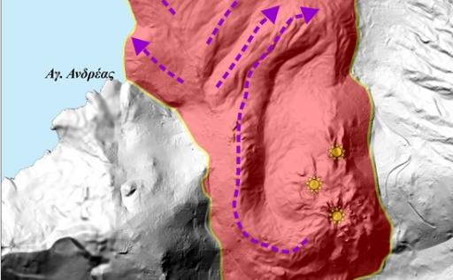
The last volcanic activity in the area occurred around 240 BC, building the dome and andesitic lava flows that constitute the structure of Kameni Chora, to the northwest of the peninsula. The phenomenon was mild, with no major explosions. Here is how Strabo describes the eruption:
“Regarding Methone, in the Hermionic Gulf, a seven-stage high mountain was raised from a fiery eruption, during the day inaccessible due to the heat and sulfurous odor, but at night fragrant, glowing from afar and warming the sea for five stadia, and murky for twenty stadia, with rocks flowing from towers not less than.”
This refers to the development of a lava dome near the coast, which subsequently feeds thick lateral lava flows moving northward and entering the sea for several hundred meters. (image The active volcanic center of Kameni Chora. Stars indicate exit sources, and arrows
show the directions of lava flow.)
A related description of the volcanic activity is also mentioned by Pausanias in “Description of Greece” along with the appearance of the hot spring now known as “Pausanias Baths”:
“There is an isthmus in the land of Troizen, stretching a long way to the sea, on which a small town named Methana is situated by the sea. … About thirty stadia from the town are the hot baths: they say that the water first appeared during the reign of Antigonus the Macedonian, and it did not appear as water immediately but as fire erupting from the earth, and after that the water was cooled, which now reaches us warm and very salty.”
In the submarine area north of the Kameni Chora center of Methana, between Methana and the island of Angistri, submarine volcanic centers have been identified, one of which was named “Pausanias.” Some of these may be active.
Today, the only reminder that Methana is an active volcano are the two hot springs that emerge in the town of Methana and on the northern coast of the peninsula. The spring in the town of Methana is well known throughout Greece for its therapeutic properties (skin diseases, circulatory issues, arthritis), and thus Methana has been one of the busiest spa towns in our country. The smell of methane and hydrogen sulfide released from the thermal fluid of the springs characterizes the area around the bath facilities.
The variety of geological and geomorphological elements of the area, combined with the young age of its formation and the fertility of the soils due to volcanic earth, create optimal conditions for the development and hosting of a large and interesting diversity of flora and fauna.
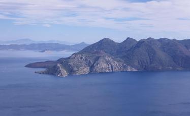

Geotrail 1
Geotrails
Distance:
10.52 km
Altitude:
0-379 m
Duration:
286 minutes
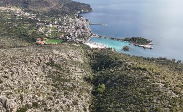

Geotrail 2
Geotrails
Distance:
12.25 km
Altitude:
8-623 m
Duration:
332 minutes


Geotrail 3
Geotrails
Distance:
1.83 km
Altitude:
8-92 m
Duration:
47 minutes


