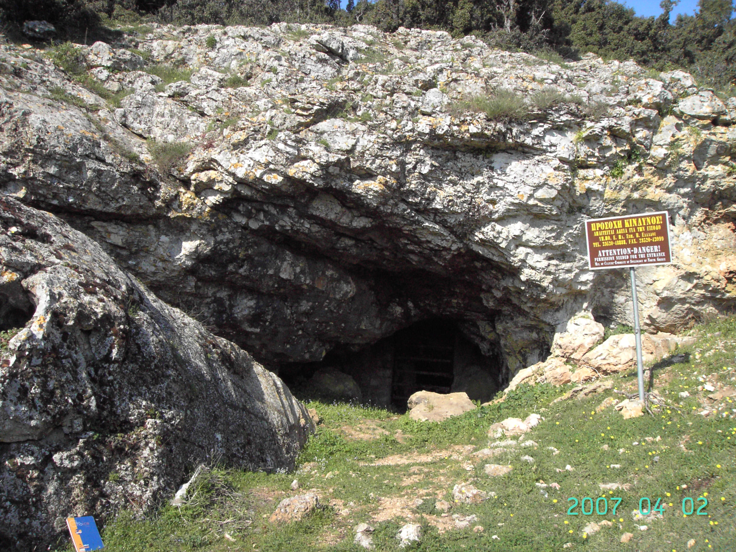
Eastwards of the village Proskinites, on the way to Maroneia, there is a sign pointing to the Maroneia cavern, which is Northwards. After travelling by car or on foot for 2 km on a badly-paved road, we reach a flat (altitude 180 m) where we can park the car. The rest of the trail can only be completed on foot, with appropriate walking boots. In this location, there is a sign pointing to the cavern. The cavern is 80 m away from the flat, but it is not readily visible because there is no marked path. The best way to approach the cavern is to follow a slight southern-southeastern direction.

