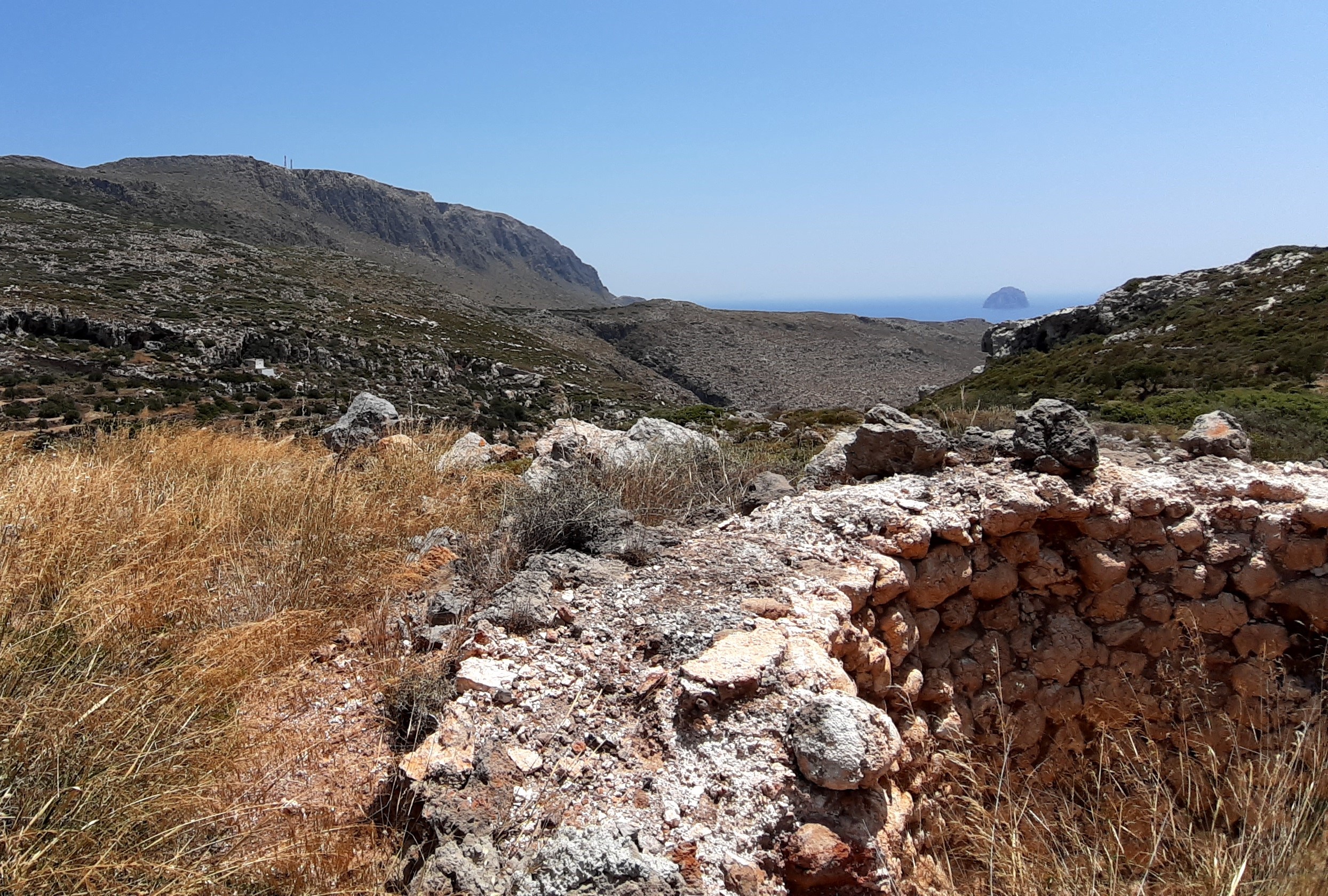
This georoute crosses the western part of Kythira, offering the visitor the possibility to wander around stone landscapes, next to the highest peaks of the island. The mountainous mass of Agia Elessa, with the homonymous monastery, at an altitude of 476m, owes its creation to a large tectonic structure, perhaps the largest that has been mapped on the island, extending for several kilometers. The tour ends at Melidoni beach, with an amazing view of the islet of Chytra.

